Jacques Nicolas Bellin (1703-1772)
|
Jaques Nicolas Bellin was the most important French hydrographer of the 18th century. As a member of the philosophes (Encyclopédistes), he contributed 994 articles to the Encyclopédie compiled by Denis Diderot and Jean le Rond d'Alembert. His maps of Canada and of French territories in North America are considered to be of particular value.
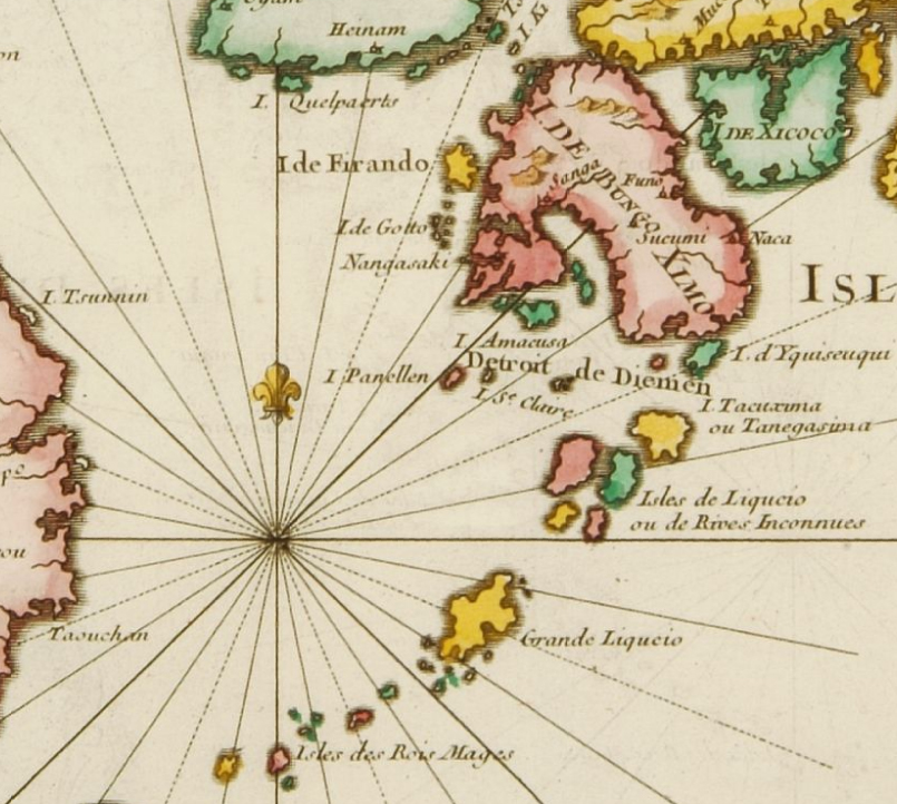
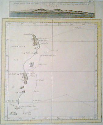
Carte des Isles du Japon et la Presqu'Isle de Coree. Paris 1746. (private collection)
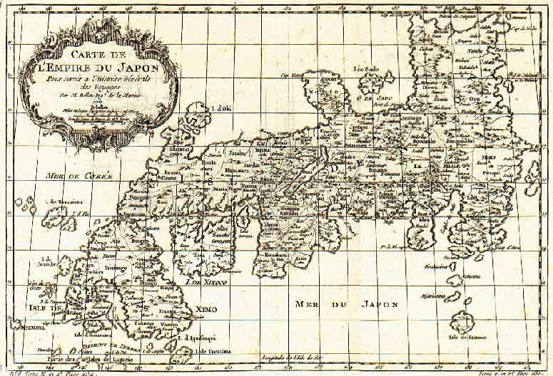
J.N. Bellin: Carte De L'Empire Du Japon: Paris 1752. 12,5 x 8 cm.
One of the best 18th century maps of Japan. (private collection)
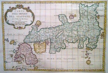
Bellin, J.N. Carta / Dell'Impero / Del Giappone. c. 1760. 21 x 30 cm. (private collection)
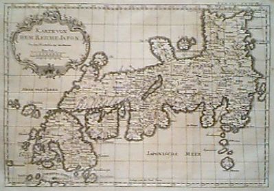
J. N. Bellin: Karte von dem Reiche Japon. Halle, 1763-92. 21.5 x 30,5 cm. (private collection)
J. N. Bellin, J. van Schley: Gedeelt van Japan of Nipon / Gezigt van de Kust van Japan. Amsterdam, c. 1760. 24 x 20 cm. (private collection)
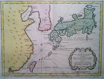
J. N. Bellin: Carte des Isles du Japon et la Presqu Isle de Corée, Avec les costes de la Chine Deius Pekin Jusqu'a Canton. Amsterdam, 1773. 21 x 28 cm. (private collection)